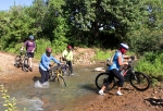
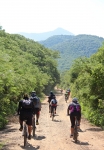
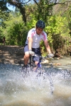
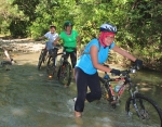
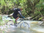
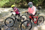
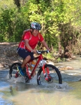
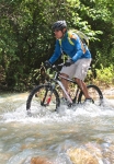
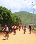
The ride into the mountain valley which serves as the source of water for the community of Santo Domingo Tomaltepec is a very scenic and enjoyable outing. That said, it might well be called “Trial By Water,” as the trail crosses the same stream seven times going both out and back. Even in the dry season the rider will likely get splashed. During the rainy season (which this was) the water is swift-flowing and sometimes a foot or more deep, which guarantees your foot gear – and sometimes more – will get thoroughly soaked.
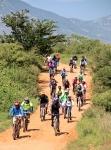
Just as a black powder fuse will sputter and die when wet, our riders’ enthusiasm was considerably dampened by the water crossings. By the third stream crossing almost half the day’s group of 33 riders decided not to go any further, leaving it to the more intrepid bikers to push on to the end of the trail. Still, everyone was in good spirits and seemed to have a good time.
The ride out and back covered a total of 24.8 miles (39.9 km), and the total elevation gain and loss on the trip amounted to 1270 feet (387 meters). The ride began and ended at an elevation of 5113 feet (1558 meters). The high point on the trail hit 5696 feet (1736 meters), while the lowest point along the way bottomed out at 5084 feet (1549 meters).


