Sad to say, as of late summer in 2021 the terrific trail network described below was closed to hikers and mountain bikers. People buying property in the hills and constructing homes there prevailed in posting notices that the area was off-limits to recreational users; fences and gates were put up and the major access routes closed by chains or other barriers. What a shame that such a wonderful asset – one that had drawn people into the outdoors for generations – was lost to the public.
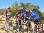
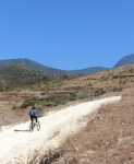
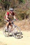
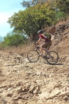
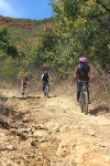
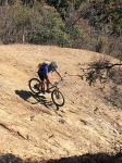
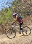
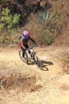
The “Trails” page on this web site lists all of the short trail segments that make up the San Felipe trail network. Here’s what you get when you link several of those sections together on an afternoon’s ride. The loop ride shown covers 8.2 miles (13.2 km) and has an elevation gain & loss of 1418 feet (432 meters). Some sections of trail are steep – two with a 16% grade and one short piece with a 22% grade. The Toro, Toro, Toro trail is an old jeep road, and so is generously wide (except where badly eroded). It can be pretty rocky in places, though. A good part of this ride is on the Maquey Mi Dia trail — a singletrack thread through the woods that is narrow, with sharp turns, dips and sudden steep climbs.
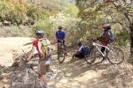
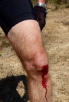
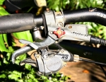
When we set out on this ride we intended to wrap up with a ride on High Flyer ridge and a final descent on the Martillada trail. However, one of our party crashed and ripped the righthand shifter from the handlebar. That meant giving up any further uphill efforts and settling for a downhill run back to home base. Still, it was a fun day on the San Felipe trail network!
