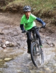
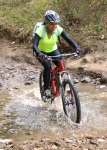
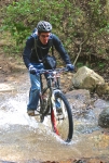
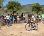
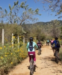
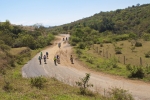
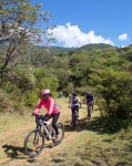
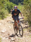
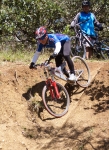
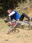
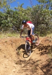
Trail LP is one of the shortest runs in the SFdA trails, but since I like to use it for a loop connector, it too needed pruning this season. Done.
Trail Info, Trail Work
Sweat Rewards / Recompensas Sudoríparas
by Deron • • 0 Comments
Sunday was a trailwork day and after a full day of cleaning, pruning and raking, now three more trails in the SFdA Smoking Section are ready to ride:
Trail E (Encendedor (Lighter))
Trail Ca (Calientaplatos (Hotplate)) (Trail page not yet posted. Damnit!)
Trail T (Tostadora (Toaster)) …except the upper section above Trail ML…which will hopefully get cleaned this weekend.
But, during that work, a new trail was stumbled upon between Trail E and Trail T. Or, more accurately, an old (lost) trail was discovered.
Here is a a screenshot from Google Earth pointing out the potential new trail, as well as the surrounding trails. Active map (and download link for the KML file) is below.
The tread is fairly well established and the vegetation is only slightly grown in. So, with a little trail work, another kilometer of singletrack could be added to The Smoking Section. The exciting part is that it runs across the hill as compared to the other nearby trails and has a gentler grade of <12% as compared to 20% and 18% for Trail E and Trail T, respectively. Also, the area it crosses has some broader sections that would allow for trail re-routing to give an even gentler grade and longer distance. Right now it isn’t rideable, but we’re hoping to get some volunteers out to flag and clean it ASAP. If you’re willing to help, drop us a line via a comment below, the OaxacaMTB.org Facebook page or the Contact Us form on this site’s About Us page.
Come help us build this baby!
Countryside, Foothills, GPS, MTBing, Photos
Nitos Ride Near Santo Domingo Tomaltepec
by Larry • • 0 Comments
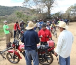
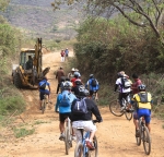
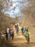
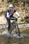
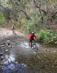
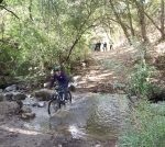
This second Sunday in January proved a fine time for the Nitos bike club to resume their Sunday morning rides after taking a break during the Christmas holidays. The destination for the day’s outing was the mountain valley upstream from Santo Domingo Tomaltepec, a small farming village in the Tlacolula valley that is one of the oldest settlements in the region. The dirt road that winds up the valley is picturesque and most famous for the seven creek crossings encountered before the road ends and a footpath (not suitable for biking) continues into the hills.
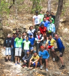
The thirty participants in today’s ride accumulated 23.6 miles (38 kilometers) riding out and back from the center of Oaxaca city. The terrain was mostly flat, so the group gained just 842 feet (256.6 meters), reaching a high point of 5718 feet (1742.8 meters) before turning back.
El segundo domingo en enero era un día ideal para el Club de Ciclismo a reanudar sus paseos matutinos de domingo después de un descanso durante los días festivos de fin de año. El destino era el valle dentro las montañas aguas arriba de Santo Domingo Tomaltepec, que es un pueblo en el Valle de Tlacolula y uno de los asientamientos más antiguos de la región. El camino de terracería en el valle es pintoresco y afamado por sus siete cruces de arroyos. El fin del camino se desemboca en una senda que conduce dentro de las colinas pero no es adecuado para ciclismo.
Los 30 participantes viajaban 23.6 millas (38 kilometros) del centro de la ciudad y regreso. La ruta es casi todo plano asi que el cambio de altura era de 842 pies (256.6 metros) alcanzando una altura de 5718 pies (1742-8 metros) antes de regresar a la cuidad de Oaxaca.
Foothills, MTBing, Trail Info, Trail Work, Videos
OAXMTB YouTube Channel and First Trail Video
by Deron • • 0 Comments
Two bits of news, campers:
1) Trail work on “Vela” is done and the trail is ride ready. The upper part is still a bit thick with grass on the tread, but it opens up as you reach the middle and bottom. Get out an ride it as the more it gets used, the better it will roll.
2) I finally got around to trying out my new GoPro knock-off video camera – an MHD (MonoPrice) Action Cam. Earlier efforts using the chest harness were a total fail (unless you’d enjoy watching the trail tread go by with my knees wobbling around). First halfway watchable video that I made is from a run down the freshly cleared “Vela” trail. The video starts on Trail LLL, runs the bit of Trail PC that is used to get to Vela, and then ends as the 1 5meter walkout at the end of the trail where it pours back onto Trail TTT (aka Pista las carnívoras). The lighting is poor, there is a smudge on the camera lens, and I’m not sure I really like the handlebar mount perspective, but this is an experiment for now….
On that note, and with the hope that we will be able to provide a full collection of trail videos eventually, OaxacaMTB.org now has a YouTube channel to share these videos as they are created/provided. That also means there is now a Google+ page to go along with our previously existing Facebook page. We hope you’ll add these additional outlets to your social media lists. Here are the links:
Countryside, Foothills, GPS, MTBing, Photos
Nitos Ride on San Felipe del Agua Trails
by Larry • • 0 Comments
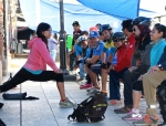
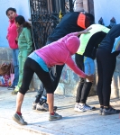
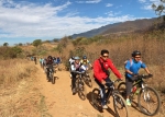
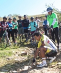
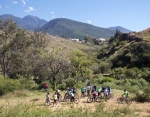
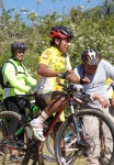
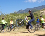
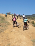
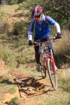
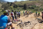
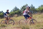
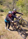
For this Sunday’s ride the Nitos bike club tried something different. Carlos, an experienced rider and mountain bike racer, was asked to accompany the group and give basic instructions on mountain biking along the way. He did a very thorough and professional job — starting with how to get a proper bike fit and how to set up the bike; then going on to give riding tips and demonstrating how to ride, climb and descend. Various segments of the San Felipe trail network provided the backdrop for Carlos’ instructions and the terrain for participants to practice using his advice.
The ride began, as usual, at the Church of St. Augustine in el centro. Riders used city streets to climb to San Felipe, where they set off on dirt roads and single track trails that continued on into the foothills of the Sierra Norte below Cerro San Felipe. The ride totaled 13.1 miles (21.1 km) and had an elevation gain and loss of 1690 feet (515 meters).
Este domingo el Club Nitos decidió intentar algo diferente. Carlos, un ciclista de mucha experiencia, nos acompañó y ofreció instrucción básica sobre ciclismo de montaña durante el viaje. Carlos fue un excelente guía y muy profesional—empezando con como escoger subicicleta y como equiparla luego dió consejos y él mismo mostró como elciclista se debiera montar, subir y descender durante un paseo o una carrera.Varias partes de la red de San Felipe se prestaron un terreno muy adecuado para que los participantes podían practicar lo que él enseñaba.


