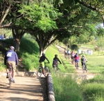
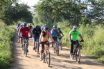
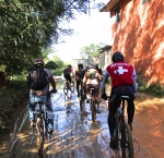
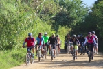
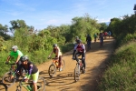
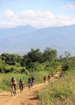
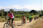
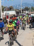
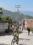
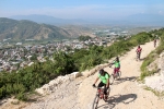
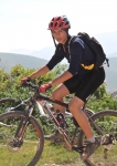
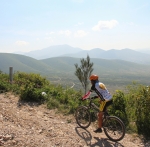
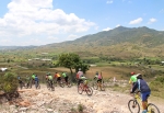
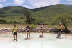
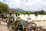
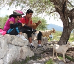
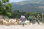
Sunday, March 13th was a day of clear skies and warm temperatures. D., C., C., P., and E. met up on the highway out Etla way to explore some of the network of paths, trails and dirt roads on the western side of the Etla valley in the scrub-brush covered foothills that sit between the toll highway to Puebla / Mexico City and the pine-covered mountains.

Category: Ride Routes
GPS, Mountains, MTBing, Photos, Ride Routes, Trail Info
Llano Grande in the Rain
by Larry • • 2 Comments
It was bright and sunny when 29 members of the “Nitos Ciclistas en Movimiento” bike club set out from Oaxaca at 7:15 am for a day ride at Llano Grande on Sunday, 25 October 2015. A caravan of ten cars and trucks hauled the riders, family members and their equipment the 42.2 mile (67.9 km) into the Sierra Madre. Unfortunately, heavy cloud cover rolled across the mountains and light rain began falling mid-way through the ride. The fog and rain prevented the group savoring the vista from the mirador, but made the forest vegetation seem more lush. Temperatures were mild, so everyone seemed to enjoy the outing, despite getting quite wet and muddy. The mud made for slow going; and tree roots and wooden bridges were especially slippery and dangerous. However, everyone made it safely through the ride and then enjoyed a hot lunch at one of the comedores in town before the group returned to Oaxaca.
Guides from the ecotourism camp at Llano Grande lead the way on a double loop through the dense woods. The route covered 9.95 miles (16.0 km), with an elevation gain and loss of 1812 feet (552 meters) for the day. Llano Grande sits at an altitude of 10,143 feet (3091.5 meters). The mirador was the highest point of the day, at 10,941 feet (3334.8 meters), while the cascada was the lowest point at 9635 feet (2936.7 meters).
Countryside, Mountains, MTBing, Photos, Racing, Ride Routes
Videos of Mountain Bike Races in the U.S.
by Larry • • 0 Comments
Mountain bikers in Oaxaca have a great selection of local races to enjoy — either as participants or as spectators. But if you are curious about professional races held in the U.S., there is now a way to satisfy that longing. “Mountain Bike Mania” is a TV show that first aired in 2014. Past episodes can be seen at http://mountainbikemania.net/. Check it out!
Countryside, GPS, MTBing, Outing, Photos, Ride Routes
Nitos Ride To San Andres Ixtlahuaca
by Larry • • 0 Comments
San Andres and San Pedro Ixtlahuaca are two small villages in the Etla Valley just a few miles west of the archeological site of Monte Alban. The rolling hills in the countryside here are both scenic and fun to explore on a mountain bike. Twenty-eight members of the Nitos bike club set out from the center of Oaxaca on this bright Sunday morning in early October to make the most of a beautiful day. The group covered 34.7 kilometers (21.6 miles) on today’s outing, spending about 3.5 hours in the saddle and taking an additional hour for a pleasant lunch at a local comedor along the route, which followed a convoluted path so as to avoid riding on the main highway as much as possible. The ride was an easy one, as the hills were gentle; the total elevation gain for the day amounted to 315 meters (1034 feet).
San Andrés y San Pedro Ixtlahuaca son dos pueblos en el valle de Etla a unasos pocos kilómetros al oeste de Monte Albán. La cadena de colinas aquí son estéticamente bellas e interesante para explorar con un “mountain bike”. Viente ocho socios de el Club Nitos salieron del centro de la ciudad de Oaxaca un domingo asoleado a principos de octubre para disfrutar del día. El viaje era de 34.7 kilómetros y tres horas y media con una hora de descanso y una comida fue por una ruta fuera de la carretera principal en la medida posible. El viaje no es difícil con colinas no muy altas. De hecho la subida total era de 315 metros.
Countryside, Foothills, GPS, MTBing, Photos, Ride Routes
Nitos Ride Near Huitzo
by Larry • • 0 Comments
Thirty-one members of the Nitos bike club headed into the hill country northwest of Huitzo for a challenging 18.2 mile (29.3 km) ride on a beautiful Sunday morning in late September. (The ride was supposed to cover 16.4 miles, but most riders missed a turn on the way back and so wound up pedaling another 1.84 miles by mistake.) There were significant hills to be negotiated (elevation gain & loss totaled 3302 feet or 1006 meters), so there was a good amount of hike-a-biking along the way, particularly as the grade ran 12-15% on some of the hills. The gorgeous scenery more than made up for the physical effort required, however.
At the conclusion of the ride the group took advantage of a comedor at the trailhead to wolf down an assortment of typical Mexican dishes, with pitchers of lemonade and plenty of soda pop and beer to help re-hydrate after the ride.