Category: Photos

Indicates the post includes photos.

Nitos Ride To San Andres Ixtlahuaca

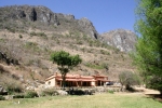
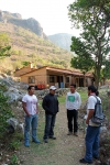
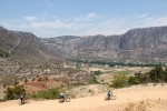
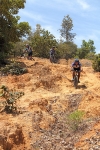
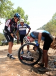
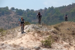
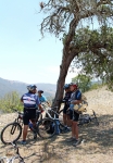
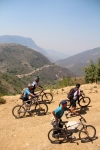
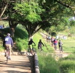
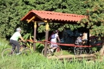
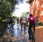
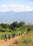
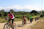
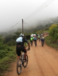
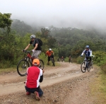
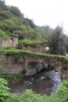
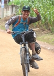
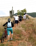
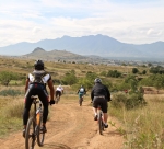
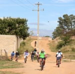
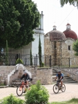
San Andres and San Pedro Ixtlahuaca are two small villages in the Etla Valley just a few miles west of the archeological site of Monte Alban. The rolling hills in the countryside here are both scenic and fun to explore on a mountain bike. Twenty-eight members of the Nitos bike club set out from the center of Oaxaca on this bright Sunday morning in early October to make the most of a beautiful day. The group covered 34.7 kilometers (21.6 miles) on today’s outing, spending about 3.5 hours in the saddle and taking an additional hour for a pleasant lunch at a local comedor along the route, which followed a convoluted path so as to avoid riding on the main highway as much as possible. The ride was an easy one, as the hills were gentle; the total elevation gain for the day amounted to 315 meters (1034 feet).

San Andrés y  San Pedro Ixtlahuaca son dos pueblos en el valle de Etla a unasos pocos kilómetros al oeste de Monte Albán.  La cadena de colinas aquí son estéticamente bellas e interesante para explorar con un “mountain bike”.  Viente ocho socios de el Club Nitos salieron del centro de la ciudad de Oaxaca un domingo asoleado a principos de octubre para disfrutar del día.  El viaje era de 34.7 kilómetros y tres horas y media con una hora de descanso y una comida fue por una ruta fuera de la carretera principal en la medida posible.  El viaje no es difícil con colinas no muy altas. De hecho la subida total era de 315 metros.



Ruta Las Haciendas

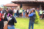
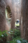
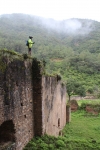
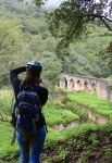
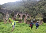
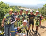
The mountain community of San Miguel Amatlan celebrated the feast of its patron saint – Michael the Archangel – the last weekend in September. As part of the festivities, the city council and the administrators of the ecotourism facility issued an invitation to mountain bikers to ride the Ruta Las Haciendas on Sunday, 28 September. The Nitos club of Oaxaca responded with 49 riders. Representatives also arrived from the La Veredita, Oaxacletos, El Camino, Madruganitos and Nocturnitos groups, as well as members of the Calpulálpam race team — a total of at least 80 riders! The town put on the feed bag for the entire group, supplying both a breakfast before and a lunch after the ride. The community president and various members of the council were on hand to personally welcome the riders, and many townspeople turned out to watch the bikers ride through town and out into the countryside. A brass band welcomed them on their return to Amatlan at the conclusion of the loop ride. Now, that’s hospitality!

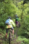
The ride covered a total of 10.3 miles (16.57 km), utilizing dirt roads and a stellar single track trail running along the Papaloapam River that also gave access to the mine ruins of the Cinco Señores and Socorro haciendas. Participants pedaled up and over a number of hills, racking up 1739 feet (530 meters) of elevation gain in completing the circuit.

San Miguel Amatlan celebró su festival de Miguel el Arcángel, el santo del pueblo, durante la última semana de septiembre. Como parte de las actividades el Consejo Municipal y los Administradores de su conjunto para ecoturismo invitaron a ciclistas de llegar al pueblo por la Ruta de Las Haciendas el domingo 28 de septiembre. Cuarenta nueve socios del Club Nitos aceptó la invitación. Otros grupos llegaron desde La Veredita, Oaxacletos, El Camino, Madruganitos y Nocturnitos y también el equipo de carreras de Calpulalpam por un total de 80 ciclistas. El pueblo invitó a todos a desayunar y a comer. El presidente de la comunidad y varios miembros de Consejo nos dieron la bienvenida y mucha gente del pueblo vinieron a ver los ciclistas emprender su paseo. Una banda de pueblo nos dió la bienvenida al regreso del paseo. Un pueblo muy hospitalario! La ruta era de 10.3 millas (16.57 KM) sobre terracería y un sendero al lado del Río Papaloapam que ofreció acceso a las ruinas de las minas de Cinco Señores y la hacienda de Socorro. La ruta tenía varias colinas, por una subida total de 1739 pies (530 metros) del circuito completo.


Nitos Ride To Santiago Ixtaltepec

This Sunday morning dawned with clear skies, proffering the possibility of a ride through the countryside without afternoon showers. That turned out to be a false hope, as light rain was falling along a good part of the ride back to Oaxaca — but not enough to dampen the spirits or wash away the good feelings of the day’s outing.

Santiago Ixtaltepec is a small village not far from its more famous neighbor, Teotitlan del Valle; and both of them lie in the Tlacolula valley to the east of Oaxaca city. The terrain there is mostly flat, but we managed to find a few hills to climb on the circuitous route we took on the way out. At times the group navigated barely discernible trails across open fields, trying — unsuccessfully, it turned out — to avoid a multitude of thorn bushes that had previous claim to the territory. At least a dozen flat tires resulted from this crossing, but these were mainly discovered after the group stopped for lunch in Santiago, where it was possible to deal with all of them at the same time.

Today’s trek through the countryside totaled 28.9 miles (46.5 kilometers) for the round trip, with an elevation gain and loss of 1377 feet (419.7 meters) along the way. We crossed a series of hills to accumulate that much climbing, as the high point of the ride was only 5489 feet (1673 meters), just 365 feet (111 meters) higher than the Zocalo in the center of Oaxaca.

Mexican National Mountain Bike Race In Oaxaca

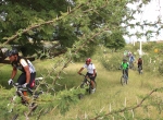
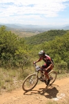
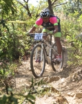
Today’s event was a double-header. First, local mountain bike racers held their usual monthly contest on the San Felipe bike trail network. Then contenders in town for the National race conducted a second round of races. Weather conditions were ideal, and track conditions were good. The course laid out for the event mirrored the route used in past years, with the addition of an extra uphill segment to push riders to their limits.

The convoluted loop wound 3.8 miles (6.1km) through the forest, with challenging technical spots and some sharp climbs and drops thrown in for good measure. Altogether there was a total of 737 feet (224.6 meters) of elevation gain and loss around the circuit. The Start/Finish line was at the site of an old stone quarry and registered 6045 feet (1842.5 meters) in altitude. The high point of the race course hit 6313 feet (1924.2 meters) and the lowest point came in at 5941 feet (1810.8 meters). No one went home feeling this was a wimpy course!


Nitos Ride At San Pablo Guila

Today’s outing was a massive undertaking. The Nitos group teamed up with Perros de la Montaña and Chapus Bike for this expedition to San Pablo Guila. The trip had seventy participants and required a caravan of vehicles to transport all the riders and their bikes the 42 miles (67.6 km) from Oaxaca to San Pablo. Pedro Martinez came along for the ride, as well.

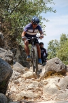
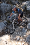
The ride itself had two parts. First the group climbed 2.3 miles (3.7 km) up the steep dirt road from town to the capilla atop the hill overlooking the village. This proved quite a challenge, as the road was very rough and badly eroded, in addition to requiring a climb of 944 feet (287.7 meters) on a grade that consistently ran at 12 to 14 per cent.

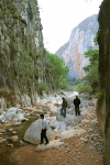
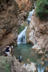
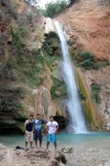
After looping back to town (with some of the more adventurous riders taking the tricky singletrack trail rather than the road) and pausing there for a well-deserved break, the gang then did a 4.12 mile (6.63 km) out-and-back ride to a natural spring not far from town. Some in the group took advantage of the situation to play in the mineral water at the spring. Once back in town, the whole entourage was hosted for lunch at the home of Moises Lopez Cruz, who acted as our host for the entire day.

It was a tired but happy bunch of cyclists who returned to Oaxaca late in the afternoon.