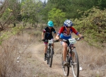
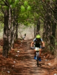
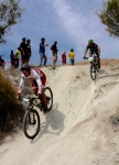
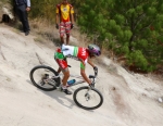
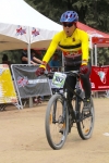
This Sunday morning — 25 September 2016 — dawned bright and clear, proffering a great opportunity for a gentle ride through the countryside around Oaxaca city. Members of the Nitos bike club assembled in the plaza in front of Santo Domingo at 8 AM and shortly thereafter set out on a loop ride through San Pedro Ixtlahuaca, Arrazola, Cuilapam and back to Oaxaca. All told, there were eighteen riders in the group. Through the morning and into the early afternoon the group rode a total of 21.7 miles (35 kms), with an elevation gain and loss of 1164 feet (355 meters) along the way. The high point topped out at 5523 feet (1683 meters), while the low point of the day’s ride was 5054 feet (1540 meters).
Category: Photos
Countryside, MTBing, Outing, Photos
Report From Up North: Mountain Biking In Moab
by Larry • • 2 Comments
Larry and Deron, the administrators of this web site, have returned to their Colorado homes for at least part of the summer. The purpose of this posting is two-fold: to report on mountain biking beyond the Valley of Oaxaca and to show that this web site is alive and well, even in their absence.
For twenty years the Rocky Mountain Bicycle Boys, a Denver-based club, have been making an annual pilgrimage to Moab to kick off the summer riding season, and 2016 was no exception. This year thirteen members of the group made the journey –somewhat fewer than in past years, but still a good representation. The weather gods were generous this year, providing excellent conditions for the occasion. Temperatures were mild and there were no fierce winds, dust storms or thundershowers to interfere with the joy of riding the awesome trails and taking in the magnificent desert scenery of the area.
Back in the 1980‘s when mountain bikes were a new-fangled invention, all of the trails around Moab were laid out by 4×4 off-road enthusiasts who delighted in testing their mettle driving the rugged terrain. So in those years cyclists pedaled alongside Jeeps and motorcycles on such challenging routes as Amasa Back, Hurrah Pass and Flat Pass. In recent years, though, local mountain bike clubs have teamed with the Bureau of Land Management (BLM) to create a dazzling network of new trails designed for and limited to mountain bikes. This year we rode the Moab Brands and the Navajo Rocks loops, both of which are new areas to be explored. Kudos to all the volunteers whose dedicated work paid off so spectacularly!
For a comprehensive map of the bike trails around Moab, click here.
Countryside, GPS, Hiking, MTBing, Photos
Turning Bike Trails into Hiking Trails
by Larry • • 1 Comment
Oaxaca attracts hordes of winter visitors from Canada and the U.S. each year, many of whom enjoy hiking in the Valles Centrales and the mountains nearby. Now the director of the “Hoofing It In Oaxaca” hiking program is an avid mountain biker, who also happens to be an administrator of this web site. And so it is no surprise that many of the trails used by gringo hikers November thru March are the same trails enjoyed by local mountain bikers year ’round. The hike coordinators are always looking for new trails to add to the dozens of venues presently in use. And so it was that Albi and Larry went scouting on their mountain bikes in the Etla Valley recently, hoping to find a route that would work equally well for a group of hikers. And they succeeded!
The rolling hill country on the west side of the Etla Valley is very scenic and a delight to both hikers and mountain bikers. It is a beautiful area at any time of the year. Larry and Albi pedaled a loop linking San Andrés Ixtlahuaca and San Felipe Tejalápam. The map below shows the route they followed. The trail on the left runs 5.3 miles (8.5 kms) from San Andrés (at the bottom of the loop) to San Felipe (at the top) and offers some great views of the surrounding countryside. The trail on the right is an alternate route which is somewhat shorter (4.2 miles / 6.7 kms) and with a little less elevation gain and loss (a bit over 400 feet / 122 meters). After riding and mapping the route, a group of hikers was mustered to try it out. All agreed it was a great hike.
For more information about the hiking program, visit www.HoofingItInOaxaca.com.
Countryside, GPS, MTBing, Photos
Pedalazos Ride in the Etla Valley
by Larry • • 0 Comments
Saturday, 7 May 2016: A lovely blue-sky day for a bike ride in the countryside. The Pedalazos bike club aimed to take advantage of good weather for a pleasant loop ride on dirt roads and trails in the rolling hill country west of Monte Alban. The plan was to get an early start so as to finish the ride before the day got too hot. To this end, the group assembled at the Plaza Bella shopping center at 8 o’clock in the morning and was on their way by 8:20 am. The ride concluded at the same location about 12:30.
There were four gringos among the fourteen riders who took part in the outing, adding some English chatter to the friendly discourse that took place as we rode along. The winding route covered 24.3 miles (39.1 kilometers), and demanded the riders climb 2116 feet (645 meters) in elevation along the way. Of course, since it was a loop ride, participants got to enjoy the same change in elevation going downhill. The shopping mall, at an altitude of 5137 feet (1566 meters), was the low point of the day’s ride, which topped out at 6042 feet (1841 meters) crossing the ridge of hills that hide the Rio Jalapilla and the village of Jalapa del Valle from view.
All went well until the very end. Then, unfortunately, while riding the paved road through Atzompa in the last mile leading back to Plaza Bella, one rider hit a nasty pothole that bent his front wheel, throwing him over the handlebars. Another rider collided with him. The injuries were quite painful and put an early end to the ride for some.
Countryside, GPS, MTBing, Photos, Racing
National Cup Mountain Bike Race in Huayapam
by Larry • • 0 Comments
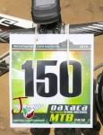
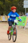
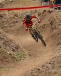
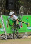
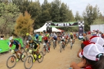
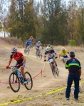
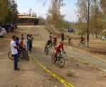
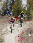
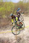
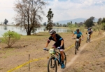
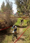
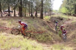
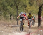
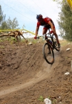
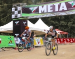
The nearby village of San Andrés Huayapam hosted a mountain bike race sponsored by the Federacion Mexicana de Ciclismo on Sunday, 24 April 2016. The event took place in Huayapam’s ecotourism park, adjacent to the two presas which serve as water reservoirs for Huayapam and Tlalixtac. As is the custom with other local closed-course races, the main race was preceded by several rounds of shorter races for kids. The main event got under way about 10:30 am and featured riders from Oaxaca and various other states in Mexico competing in various “Expert” and “Womens” categories.
The course laid out for the race wound back and forth and around the park, at one point crossing over itself on a bridge. The course was 3.1 miles (5.0 kilometers) long, with an elevation gain and loss of 471 feet (143.5 meters) along the way. Depending on what category they were entered in, participants had to circle the course four or five times to complete the race. As race courses around Oaxaca go, this was at a relatively low elevation — 5330 to 5508 feet (1624.5 to 1678.8 meters) — with moderate climbs and few technical challenges, making it one of the easier venues. Even so, the course was sufficiently challenging to keep the riders on their toes.
