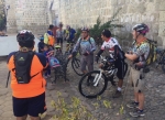
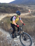
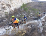
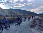
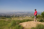
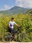
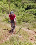
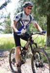
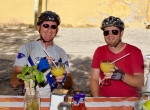
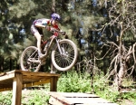
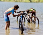
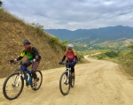
The Pedalazos may just be Oaxaca’s most active bike club at this point in time. In addition to a regular Saturday morning ride (which starts at 8 am and is often a real gut-buster), the group also sponsors a Wednesday evening outing from 4 until 8 pm. The group meets on the back side of the Casa de La Cultura, located on Gonzáles Ortega between Colón and Rayón in el centro for all their outings. With daylight lasting longer into the evening now that we are into the month of February, the ride on the seventh day of the month saw the group pedal out to the town of Tule to examine the route which will be used for a mountain bike race scheduled there for Sunday, 18 February. A total of fifteen fellows showed up for the mid-week ride, which was enjoyed by all.
Category: MTBing
Countryside, Foothills, GPS, MTBing
New Year’s Day 2018 Kick-Off Ride
by Larry • • 0 Comments
The first day of 2018 dawned bright and clear with moderate temperatures — just the sort of day to entice a mountain biker into the saddle for a New Year’s kick-off ride. Larry and Albi met up at 10 am and agreed to ride a few miles along the Libramiento and through the mountain park managed by the nearby village of Donaji. Along the way we met many family groups enjoying hikes in the countryside or heading for a picnic in the park. At under 12 miles and taking just two hours, ours was not a long ride – but a pleasant one nevertheless. Hopefully, this was a harbinger of many good things to come in 2018.
Countryside, MTBing, Photos
Back in the Saddle
by Larry • • 0 Comments
This web page has been unnaturally quiet in recent months due to the webmaster taking a tumble on his mountain bike and breaking a wrist on 12 October 2017. That not only put an end to cycling for two and a half months, but also precluded typing any but the most pressing pieces. Now, finally, at the dawn of the new year the cast is gone and some semblance of flexibility and strength has returned to the damaged hand. So it was with a mix of eagerness and trepidation that the tires and suspension components were aired up after so many weeks of disuse and we set out this Saturday morning for a very easy and non-threatening ride from Oaxaca city to Tule on the bike path, then continued into the countryside to Santo Domingo Tomaltepec and back into town through Tlalixtac. The ride covered approximately 20 miles on mostly flat and relatively smooth terrain — just what the doctor ordered. Here’s to many miles of happy trail riding in 2018!
Countryside, Foothills, GPS, MTBing, Photos
Hooray For Sunshine!
by Larry • • 0 Comments
For weeks on end grey clouds hovered over Oaxaca and frequent rain showers pelted the city day and night. September was an especially gloomy and wet month. So cries of “Hallelujah!” were heard when October arrived, bringing blue skies to local sun worshippers. Jacob, a visitor from Houston, Texas set up a Sunday morning ride to Huayapam to get a feel for mountain biking in the Valles Centrales. Huayapam was selected as the destination both because it is close by and because a mountain bike race was scheduled to take place this Sunday. It turned out to be a beautiful day for such an adventure. Due to a late start, however, we arrived too late to watch the bike race. We rode a total of 14.8 miles (22.3 kms) with an elevation gain and loss along the way of 1863 feet (567.8 meters). The route was a mix of city streets, back country lanes and a good bit of single track trail.
Countryside, Foothills, GPS, MTBing, Photos
New Bikers In Town
by Larry • • 0 Comments
Brian and Karen arrived in Oaxaca on 1 August, having moved to Mexico from Cuenca, Ecuador. They brought their 29’er mountain bikes with them and were anxious to explore the territory around their new home port. A visit to the rolling hill country of the western Etla Valley seemed a good place for an introductory ride. We opted to drive from el centro out to San Pedro Ixtlahuaca and a bit beyond before unloading our bikes and saddling up. It was a cloudy, cool day with occasional rain sprinkles. As expected, there was very little vehicular traffic on the unpaved roads that criss-cross the region like spiderwebs. We rode the lollypop loop on the left side of the map, below, passing through the small villages of Cieneguilla and Jalapa del Valle. That route covered 15.6 kilometers (9.7 miles) with an elevation gain and loss of 363 meters (1191 feet) around the circuit. The highest point was 1900 meters (6234 feet) on the road where there is a nice view of the church and environs of Jalapa del Valle. The lowest point — 1725 meters (5659 feet) — was in Jalapa del Valle itself. It was a pleasant outing that left the newcomers looking forward to future rides on single track trails in the mountains nearby.
