Easter fell on 4 April in 2021, which also happened to be the day Mexico switched to daylight savings time. So the ride began at 9 am, as usual, but in fact it was an hour earlier in terms of daylight and the sun having a chance to take the chill out of the air. We were expecting a large turnout, as eight young Mexican bikers said they would take part in today’s outing. However, only three riders showed up at the appointed time, one of whom was a young man from the U.S. just recently arrived in Oaxaca eager to explore the territory on a rented mountain bike. From el centro, the group rode through San Agustin Yatareni to Huayapam, then out and back on the Los Molinos trail in Tlalixtac – a perennial favorite among local bikers. The threesome covered 22.3 miles ( 35.9 km) on the outing, gaining and losing a total of 1450 feet (442 meters) in elevation on the loop. The highest point of the ride was at the end of the Los Molinos trail, which topped out at 5751 feet (1753 meters). From there it was a swoopy and fast downhill run all the way back to Oaxaca. All in all, a great Easter excursion!

Jake, a visitor to Oaxaca, eager to go for a bike ride. 
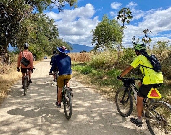
Easter proved a lovely day for a ride in the country. 
Ron is a very strong rider for a guy in his 70’s. 
Posing at the ruins of the old water-powered grain mill. 
Lots of open space. 
Jake pedaled like a champ on his first bike ride in Oaxaca.