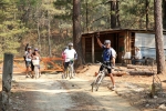
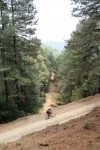
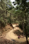
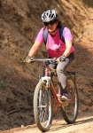
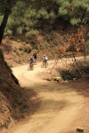
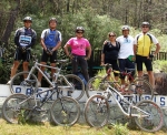
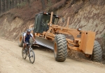
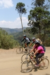
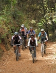
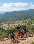
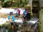
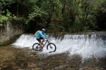
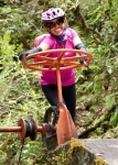
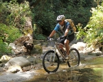
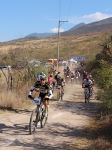
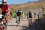
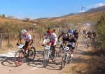
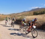
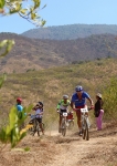
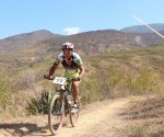
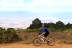
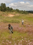
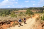
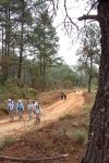
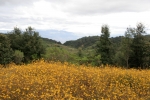
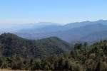
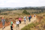
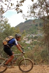
This loop ride comprises a tour through the open country on the southern side of the Tlacolula valley, linking Oaxaca with Tlacochahuaya and Tlacolula and skirting the mountains that form the southern rim of the valley.
Category: GPS
GPS, MTBing, Trail Work
New Trail (Work) Progress Report: Trail R to Road LNR Connector
by Deron • • 0 Comments
So the new connector trail between Libremiento Norte Road and Trail R (Rebote/Ricochet) is mostly cleared of vegetation. Some of the switchbacks have been built for three to five more are needed. At this point, the tread is mostly packed grass except for the bottom part.
In the map, Trail R is in purple, the new trail…..as it stands right now…is shown in cyan.
Come help us finish up this trail.
Countryside, GPS, Mountains, MTBing, Photos
Oaxaca to Juquila Pilgrims’ Route
by Larry • • 0 Comments
The notion of making a religious pilgrimage is an ancient tradition. In contemporary Mexico, the concept of making a pilgrimage to a religious shrine is very much alive and well. Almost two million people flock to the basilica of Our Lady of Guadalupe in Mexico City on her feast day (12 December). Here in Oaxaca state there is a lesser-known shrine to the Virgin Mary in the small mountain community of Juquila, 203 kilometers (126 miles) southwest of the capital. People from all parts of the state go there – many by bicycle or on foot – to lay petitions before the Holy Mother. Whether you want to visit Juquila out of religious fervor or just because it is a worthy destination for an epic bike ride, here is how to get there.
Be aware that this route is on the shoulder of the secondary highway linking Oaxaca city with the Pacific coast. The road is narrow, steep, very sinuous and has little or no shoulder. Vehicle use is light most of the time, and speeds are rarely higher than 30 miles per hour. There is a fair amount of pedestrian and bicycle traffic all along the way. Nevertheless, this is a hazardous route for cyclists, so be exceptionally vigilant.
Foothills, GPS, MTBing, Outing, Photos, Ride Routes
Oaxaca Flume Trail
by Deron • • 1 Comment
Another day out in the saddle riding with the local trail builder and guide, Carlos Silverberg. This time it was a full day grinding up and taking in The Oaxaca Flume trail. Starting from San Pablo Etla, it’s a short bit of rolling singletrack to reach the dirt road that is 95% of the ascent. The road will take you up the side of the mountain to the “La Mesita” park and then well beyond, climbing over 700 meters in about 8 kilimeters. Once you reach the junction with the singletrack, you work your way northward through pine trees on a skinny tread of trail that is thickly covered with dry pine needles. Elevation drops, but after each ravine crossing you can expect a brief climb before the more typical rolling flow across the ridges. The slippery pine needles and occasional rock band keep your attention, but the biggest challenge is just keeping your line on the thin trail as it traverses very steep slopes.
Eventually there is a sustained downhill (~1km) which leaves the pine forest behind and drops you into scrub oak. The trail utilizes an erosion-worn rut full of scree and blocks of rock…and in the dry season, lots of dry leaves (~15cm deep or more). No large drops but pretty much steady 15 – 30cm jumble of rock crud to plow the whole way down, with the occasional sharp turn and/or 20 – 45cm ledge or pile-o-crap to descend.
From there a ~0.75km climb up a steep slope with occasional breather breaks heads to the northwest and allows the trail to connect to the next big valley. The reward for the climb is an extension in the final descent, as the trail will cross back to the southern ridge as it winds its way back to the west on its return to the Etla valley.
The Oaxaca Flume trail’s namesake, the old hydroelectric facility’s water flume, is visible across the valley to the north as the trail heads west at this, its most northern point. The flume appears as a landscape scar running along the contour line across the far south-facing slope. As the trail dives down to the valley it follows a well-worn donkey trail that is full of the typical scree and baby-head boulders. Yum!
Once down out of the scrub oak and into the weeded fields and occasional corn-field, countless social trails crisscross the area — i.e. multiple options exist for routing your way home or adding extra kilometers. For this outing we headed across the small valley to the outcropping hill known as La Corona (The Crown) and ran down its eastern flank and on into San Pablo Etla for lunch before returning to our starting point.
I STRONGLY urge you to hire a guide the first few times you take on The Oaxaca Flume. Using the GPS, it would be easy enough to find the singletrack turn off from the Etla Ecopark dirt road, but the trail eventually crosses MANY intersections or heads through low, grassy vegetation that obscures the route. As noted above, the bottom part of the trail involves the massive network of social and improved trails near populated areas, but even though this would just lead to alternate routing/mileage, one could easily get totally lost in the middle sections of the trail. Besides, having a guide will have somebody giving you an idea of what to expect on the trail and allowing you to ignore navigation and totally focus on drinking deeply from The Oaxaca Flume trail.
Physical Rating: Difficult (A shuttle up the road would cut this to Moderate)
Technical (i.e. IMBA) Rating: Intermediate to Advanced / Blue Circle to Black Diamond
GPS, Hiking, Mountains, MTBing, Photos
Cuajimoloyas Loop
by Larry • • 0 Comments
The village of Cuajimoloyas attracts a number of tourists. Its location high in the Sierra Norte (elevation: 10,398 feet / 3169 meters) is a draw, as are its hiking and biking trails. This short (3.1 mile / 5.0 km) loop trail is not worth driving all the way from Oaxaca city; but if you are already in the neighborhood, it’s worth checking out. Perhaps afterward you will want to take a ride on the community’s zip line, which is the longest and highest in this part of Mexico.