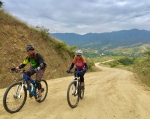
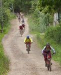
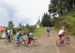
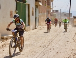
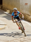
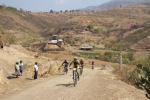
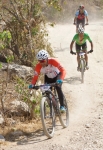
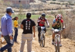
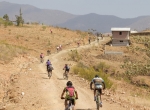
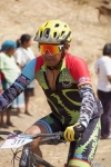
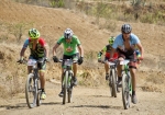
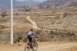
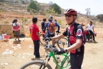
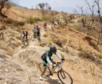
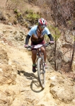
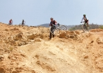
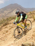
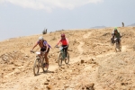
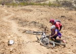
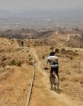
Brian and Karen arrived in Oaxaca on 1 August, having moved to Mexico from Cuenca, Ecuador. They brought their 29’er mountain bikes with them and were anxious to explore the territory around their new home port. A visit to the rolling hill country of the western Etla Valley seemed a good place for an introductory ride. We opted to drive from el centro out to San Pedro Ixtlahuaca and a bit beyond before unloading our bikes and saddling up. It was a cloudy, cool day with occasional rain sprinkles. As expected, there was very little vehicular traffic on the unpaved roads that criss-cross the region like spiderwebs. We rode the lollypop loop on the left side of the map, below, passing through the small villages of Cieneguilla and Jalapa del Valle. That route covered 15.6 kilometers (9.7 miles) with an elevation gain and loss of 363 meters (1191 feet) around the circuit. The highest point was 1900 meters (6234 feet) on the road where there is a nice view of the church and environs of Jalapa del Valle. The lowest point — 1725 meters (5659 feet) — was in Jalapa del Valle itself. It was a pleasant outing that left the newcomers looking forward to future rides on single track trails in the mountains nearby.
Category: GPS
GPS, MTBing, Photos
The Boulder Connection
by Larry • • 0 Comments
Boulder, Colorado sits at the base of the Rocky Mountains 25 miles northwest of Denver. It is home to about 125,000 people and the University of Colorado. Famous for its liberal politics and an easy-going, outdoor-oriented lifestyle, it is a charming, if very expensive, place to live. A rather surprising number of Boulderites venture to Oaxaca through the year. This past week a die-hard road and mountain bike enthusiast from Boulder was in town doing daily long-distance rides to Hierve el Agua, La Cumbre and other points of interest. Another family group of seven from Boulder were also in Oaxaca at the same time. This latter group rented bikes from Bicicletas Pedro Martinez and arranged for an all-day ride in the Sierra Norte around La Cumbre on Saturday, accompanied by other expat mountain bikers living in Oaxaca and a number of local riders from the Pedalazos club. The group planned to ride the “Cabeza de Vaca” and “El Cerezo” trails at La Cumbre, then zoom down the mountainside back towards Oaxaca on “Trail 204.” The ride went well, despite a couple of rain squalls and some muddy spots in the trail. All survived the ride and declared the day a great success!
Countryside, GPS, MTBing
Sunday Ride In The Country
by Larry • • 0 Comments
The fourth Sunday in April was another perfect day in paradise — and so another opportunity for a pleasant ride in the countryside around Oaxaca city. Rather than join in one of the several outings sponsored by local clubs or bike shops, three friends decided to go on their own. They pedaled from their homes in San Felipe del Aqua down through town and out into the Etla Valley west of Monte Alban. Upon reaching San Pedro Ixtlahuaca, they opted to ride north through San Andres Ixtlahuaca and over a ridgeline to San Felipe Tejalápam, then return by way of Atzompa. While passing through San Felipe, they discovered a community mountain bike race had just concluded, so stopped to watch local kids being called to the winners’ circle to receive their rewards. Overall, the distance covered amounted to 30.1 miles / 48.4 kms, with an elevation gain and loss of 2306 feet / 703 meters. With a lunch stop along the way, the ride took about four hours.
Countryside, GPS, MTBing, Photos, Trail Info
Titan Zapoteca 2017
by Larry • • 2 Comments
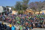
The mighty Titan Zapoteca marathon race held each spring in San Pablo Guila has become one of the premier mountain bike events in Oaxaca state. This year’s installment, which took place on Sunday, 26 March 2017, attracted over 400 registered participants — and a number of non-racing followers, like our little gringo group. As in past years, the race course was very challenging, with multiple long climbs and many treacherous descents. The race course is formidable, running for 42 km (26 miles) through the countryside, with steep climbs and scary, very technical descents. The total elevation gain and loss on the loop course amounts to over 1128 meters (3700 feet).
GPS, Mountains, MTBing, Photos
Nexicho to Zoquiápam
by Larry • • 1 Comment
Three expats living in Oaxaca set out on this bright Thursday morning in late March to explore some new territory in the Sierra Norte mountains to the north of Oaxaca city. Using a minivan to haul themselves and their bikes into the high country, the trio drove north on Hwy 175 through La Cumbre to El Punto, then took a newly-paved country road to San Pedro Nexicho where they unloaded the bikes, got in the saddle and rode to San Matias Zoquiápam and back, covering just under thirteen miles (21 kms) along the way. Although the total elevation gain and loss was about 2000 feet (609 meters), the logging roads used were never particularly steep so the pedaling was easy. It was a warm March day in the Valles Centrales, but the temperature in the mountains was perfect for such an outing. Alex, Andy and Larry spent three hours on their out-and-back ride, taking time along the way to stop for refreshments at a trout farm and restaurant tucked into the hillside along the way. An excellent time was had by all.

