Category: Foothills

Marathon Mountain Bike Race at San Juan Teposcolula

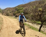
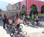
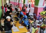
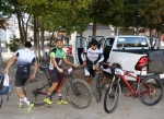
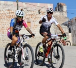
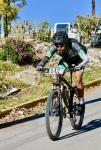
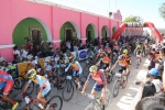
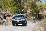
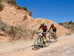
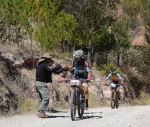
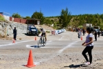
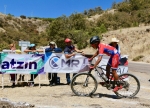
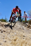
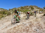
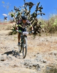
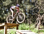
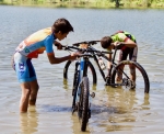
At 6:30 on Sunday morning the first glimmers of daylight were brightening the sky as dozens of mountain bike racers were loading their gear into pick-up trucks for the drive to San Juan Teposcolula, located in the Mixteca Alta 110 kilometers northwest of Oaxaca city. Between 8 and 9 am a couple hundred  race contestants had converged on San Juan for the first-ever mountain bike race in that rural community. The town center was a beehive of activity, with bikers registering and warming up for the race; townspeople providing food and beverages to the assemblage; and lots of police to provide traffic control on the main highway and back roads used for the contest. The weather was picture-perfect and there was a friendly excitement in the air. The race got under way at 9:30 and the first biker crossed the finish line a bit less than three hours later. The race course followed a meandering 54.6 kilometer route through the hill country nearby, providing innumerable climbs and subsequent descents. Many thanks to the various race sponsors, the good people of San Juan and the folks at ACREO for making the event possible.

To see animated map, click here:  https://www.facebook.com/Accreo/videos/vb.447327002279737/584705118541924/?type=2&theater

Ride in the Hill Country near La Lobera

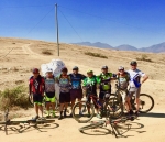
A dozen members of the Pedalazos bike club set out at 8:25 am on a bright Saturday morning to ride into the rolling hill country near La Lobera, located some 14 miles (23 kms) southwest of Oaxaca or 6 miles (9.8 kms) west of Zaachila. The terrain in this part of the Valles Centrales is mostly flat, so the pedaling was easy and the pace fairly quick. It wasn’t until the group turned off from the main road to La Lobera and began riding the dirt roads that wind through the foothills that there was any significant elevation change. From beginning to end, the ride covered 38.6 miles (62.1 kms), with a gain and loss of 2467 feet (752 meters) in elevation. 

New Year’s Day 2018 Kick-Off Ride

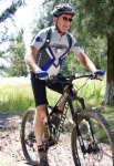
The first day of 2018 dawned bright and clear with moderate temperatures — just the sort of day to entice a mountain biker into the saddle for a New Year’s kick-off ride. Larry and Albi met up at 10 am and agreed to ride a few miles along the Libramiento and through the mountain park managed by the nearby village of Donaji. Along the way we met many family groups enjoying hikes in the countryside or heading for a picnic in the park. At under 12 miles and taking just two hours, ours was not a long ride – but a pleasant one nevertheless. Hopefully, this was a harbinger of many good things to come in 2018.


Hooray For Sunshine!

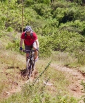
For weeks on end grey clouds hovered over Oaxaca and frequent rain showers pelted the city day and night. September was an especially gloomy and wet month. So cries of “Hallelujah!” were heard when October arrived, bringing blue skies to local sun worshippers. Jacob, a visitor from Houston, Texas set up a Sunday morning ride to Huayapam to get a feel for mountain biking in the Valles Centrales. Huayapam was selected as the destination both because it is close by and because a mountain bike race was scheduled to take place this Sunday. It turned out to be a beautiful day for such an adventure. Due to a late start, however, we arrived too late to watch the bike race. We rode a total of 14.8 miles (22.3 kms) with an elevation gain and loss along the way of 1863 feet (567.8 meters). The route was a mix of city streets, back country lanes and a good bit of single track trail. 

New Bikers In Town

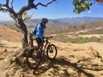
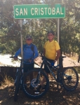
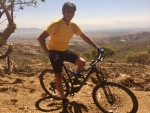
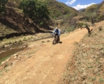
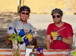
Brian and Karen arrived in Oaxaca on 1 August, having moved to Mexico from Cuenca, Ecuador. They brought their 29’er mountain bikes with them and were anxious to explore the territory around their new home port. A visit to the rolling hill country of the western Etla Valley seemed a good place for an introductory ride. We opted to drive from el centro out to San Pedro Ixtlahuaca and a bit beyond before unloading our bikes and saddling up. It was a cloudy, cool day with occasional rain sprinkles. As expected, there was very little vehicular traffic on the unpaved roads that criss-cross the region like spiderwebs. We rode the lollypop loop on the left side of the map, below, passing through the small villages of Cieneguilla and Jalapa del Valle. That route covered 15.6 kilometers (9.7 miles) with an elevation gain and loss of 363 meters (1191 feet) around the circuit. The highest point was 1900 meters (6234 feet) on the road where there is a nice view of the church and environs of Jalapa del Valle. The lowest point — 1725 meters (5659 feet) — was in Jalapa del Valle itself. It was a pleasant outing that left the newcomers looking forward to future rides on single track trails in the mountains nearby.