Category: Foothills

Nitos Ride In Tlalixtac Territory – Los Molinos Trail

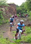
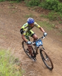
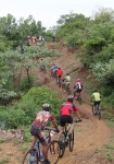
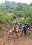
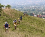
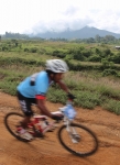
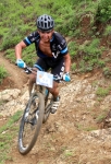
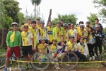
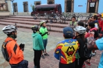
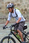
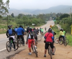
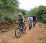
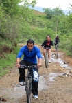
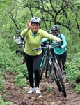
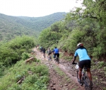
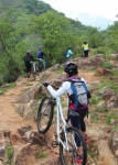
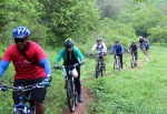
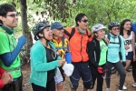
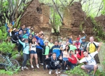
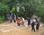
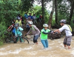
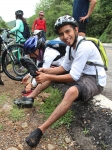
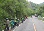
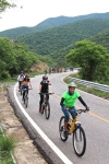
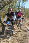
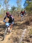
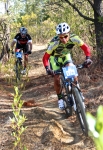
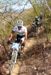
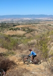
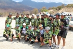
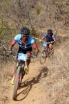
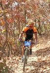
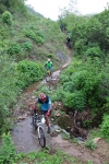
Members of the Nitos Ciclistas En Movimiento took to the hill country in the territory belonging to the village of Tlalixtac for this Sunday’s ride. The Oaxaca Valley had received over 5 inches (32 cm) of rain in the previous five days, so the ground was saturated, streams were running strong, humidity was high and there was plenty of mud along the way. It was a fun outing, nevertheless; and the 26 people who took part had a great time!

After getting clear of the city, the group took mostly back roads on the way to the foothills and then followed a country trail that wound upwards running parallel to Highway 175, but on the far side of a gurgling stream. After pedaling for about three hours the group stopped for lunch in the woods before splashing across the creek and sailing back to Oaxaca on the shoulder of the highway.

The round trip covered 16.2 miles (26.1 km) with an elevation gain and loss of 1007 feet (307 meters). There were just a few technical challenges along the way in the form of some rock gardens. However, there were many muddy spots and a number of places where water was running down the trail, so the going was slow at times.
Easter Race at San Pablo Etla

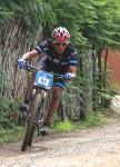
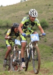
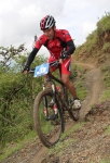
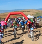
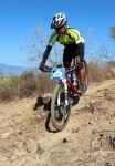
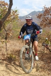
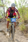
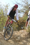
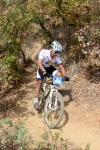
I actually saw a live bunny rabbit hopping down the trail on today’s Easter Sunday mountain bike race at San Pablo Etla. I did not find any colored eggs hiding in the brush along the route, however. What I did find – happily so! – was the digital camera that bounced out of my fanny pack as I was riding back to the finish line after taking photos of the race. Elsewise there would be no pics to go with this post, and I would be one very unhappy camper!

Today’s race was on the same 3.2 mile (5.0 km) race circuit as last year, but to give the venture a different spin the riders rode the course in the opposite direction – going clockwise today. The start/finish line was in a slightly different location on the loop, as well.

You can see photos of the race last year by going to the “Race” page and scrolling down to the “San Pablo Etla” entry.

Mountain Bike Race in San Felipe

There was a good turnout for the mountain bike race held on the
San Felipe del Agua trail network on Sunday, 23 February 2014.

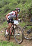
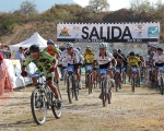
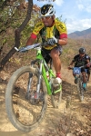
Chapus Bikes fielded a large and talented team. The village of Capulalpam de Guerrero is sponsoring a team this season, which was good to see. The Comex team present for this race was much smaller than in recent years. And, sadly, the Krotalus team was absent, as that bike shop went out of business late in 2013.

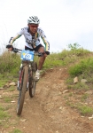
The weather was terrific and the trails were in decent shape. The race followed the same route as last year’s event, with one slight modification. A short section of what is identified on this web site as the Rebote trail has recently been re-routed to avoid a downhill piece that was getting seriously eroded.

Both participants and spectators seemed to have a good time — despite an assortment of broken chains and flat tires.

Cerro Fortin Trails

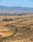
Cerro Fortin is a large hill that dominates the skyline on the north side of Oaxaca city. In pre-Hispanic days it is where the Aztecs built a garrison to exert control over the Zapotec & Mixtec population of the Valles Centrales. Today it is the site of the Fortin Plaza Hotel and the famed Guelaguetza outdoor amphitheater where a regional folkloric dance festival is held each July. The top of the hill is studded with an array of telecommunications towers and an observatory, as well as an imposing statue of Benito Juarez, the local Zapotec boy who became president of Mexico and held off the incursion of the French in the days of Emperor Maximilian. There are a number of trails atop the hill which are popular with downhill bikers. The trails are steep and gnarly, and several ramps and jumps have been built to add to the challenge. There is no ready road access, however, which means bikers usually have to ride or push their rigs to the top to enjoy the thrill of careening downhill. Downhill races are held here periodically.

The loops shown on the map below cover 3.2 miles (5.1 km) and entail a gain and loss of 946 feet (288 meters) along the way.

San Felipe Sampler

Sad to say, as of late summer in 2021 the terrific trail network described below was closed to hikers and mountain bikers. People buying property in the hills and constructing homes there prevailed in posting notices that the area was off-limits to recreational users; fences and gates were put up and the major access routes closed by chains or other barriers. What a shame that such a wonderful asset – one that had drawn people into the outdoors for generations – was lost to the public.

The “Trails” page on this web site lists all of the short trail segments that make up the San Felipe trail network. Here’s what you get when you link several of those sections together on an afternoon’s ride. The loop ride shown covers 8.2 miles (13.2 km) and has an elevation gain & loss of 1418 feet (432 meters). Some sections of trail are steep – two with a 16% grade and one short piece with a 22% grade. The Toro, Toro, Toro trail is an old jeep road, and so is generously wide (except where badly eroded). It can be pretty rocky in places, though. A good part of this ride is on the Maquey Mi Dia trail — a singletrack thread through the woods that is narrow, with sharp turns, dips and sudden steep climbs.

When we set out on this ride we intended to wrap up with a ride on High Flyer ridge and a final descent on the Martillada trail. However, one of our party crashed and ripped the righthand shifter from the handlebar. That meant giving up any further uphill efforts and settling for a downhill run back to home base. Still, it was a fun day on the San Felipe trail network!