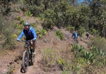
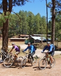
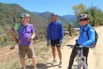
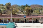
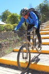
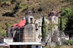
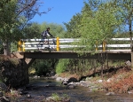
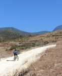
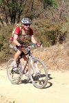
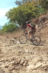
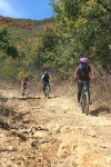
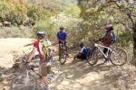
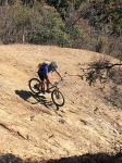
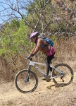
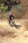
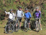
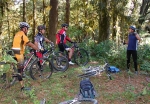
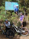
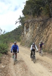
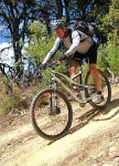
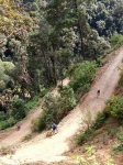
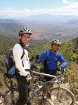
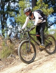
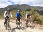
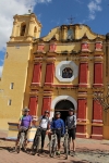
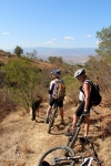
The dirt roads and backcountry trails that abound in the Pueblos Mancomunados are a continual lure to mountain bikers living in Oaxaca. On this particular Sunday in February some friends lit out for the high country intent on riding to some place new. Without much discussion we found ourselves in Cuajimoloyas looking for the start of the hiking trail going to Yavesia. A couple of friendly guides at the ecotourism office, though, dissuaded us by saying it would be much better just to stick to the dirt roads linking the two villages. Bowing to their knowledge of the area, we did just that – and were later grateful for the advice.
As you can see on the elevation chart below, Yavesia sits some 3485 feet (1062 meters) lower in altitude than Cuajimoloyas. The road between them has a grade of over 17% in places, making for an exhilarating descent but a brutal climb back up. The singletrack trail could only be even more daunting. We sailed the 12 mile (19 km) distance to Yavesia in about 75 minutes; the leg- and lung-searing return took a good two hours longer.
In all honesty, one has to wonder if this ride is worth the effort. Like my motorcycle trip from Kansas City, Kansas to Fairbanks, Alaska, I can say that I am glad I did it — but once was quite enough, thank you. The route is in heavy forest throughout, with hardly a mountain vista to inspire and nothing of note along the way. While Cuajimoloyas has a certain charm, Yavesia has little to recommend it. If you want a memorable ride, there are better choices — unless your REALLY like grunting uphill for twelve miles.
Author: Larry
Foothills, GPS, MTBing, Racing, Ride Routes
Cerro Fortin Trails
by Larry • • 0 Comments
Cerro Fortin is a large hill that dominates the skyline on the north side of Oaxaca city. In pre-Hispanic days it is where the Aztecs built a garrison to exert control over the Zapotec & Mixtec population of the Valles Centrales. Today it is the site of the Fortin Plaza Hotel and the famed Guelaguetza outdoor amphitheater where a regional folkloric dance festival is held each July. The top of the hill is studded with an array of telecommunications towers and an observatory, as well as an imposing statue of Benito Juarez, the local Zapotec boy who became president of Mexico and held off the incursion of the French in the days of Emperor Maximilian. There are a number of trails atop the hill which are popular with downhill bikers. The trails are steep and gnarly, and several ramps and jumps have been built to add to the challenge. There is no ready road access, however, which means bikers usually have to ride or push their rigs to the top to enjoy the thrill of careening downhill. Downhill races are held here periodically.
The loops shown on the map below cover 3.2 miles (5.1 km) and entail a gain and loss of 946 feet (288 meters) along the way.
Foothills, GPS, Mountains, MTBing, Photos, Trail Work
San Felipe Sampler
by Larry • • 0 Comments
Sad to say, as of late summer in 2021 the terrific trail network described below was closed to hikers and mountain bikers. People buying property in the hills and constructing homes there prevailed in posting notices that the area was off-limits to recreational users; fences and gates were put up and the major access routes closed by chains or other barriers. What a shame that such a wonderful asset – one that had drawn people into the outdoors for generations – was lost to the public.
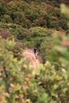
The “Trails” page on this web site lists all of the short trail segments that make up the San Felipe trail network. Here’s what you get when you link several of those sections together on an afternoon’s ride. The loop ride shown covers 8.2 miles (13.2 km) and has an elevation gain & loss of 1418 feet (432 meters). Some sections of trail are steep – two with a 16% grade and one short piece with a 22% grade. The Toro, Toro, Toro trail is an old jeep road, and so is generously wide (except where badly eroded). It can be pretty rocky in places, though. A good part of this ride is on the Maquey Mi Dia trail — a singletrack thread through the woods that is narrow, with sharp turns, dips and sudden steep climbs.
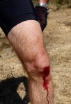
When we set out on this ride we intended to wrap up with a ride on High Flyer ridge and a final descent on the Martillada trail. However, one of our party crashed and ripped the righthand shifter from the handlebar. That meant giving up any further uphill efforts and settling for a downhill run back to home base. Still, it was a fun day on the San Felipe trail network!
GPS, Mountains, MTBing, Outing, Photos
La Cumbre to Huayapam – Cabeza de Baca & La Reina Trails
by Larry • • 4 Comments
What better way to spend a Sunday in mid-January than to enjoy a terrific downhill ride from the mountain trails at La Cumbre to the little town of Huayapam on the outskirts of Oaxaca city? While friends in Colorado are aching for spring and the chance to get their mountain bikes out of cold storage, it is warm and sunny in Oaxaca — perfect weather for a ride!
Today’s outing requires a shuttle to drop off riders and bikes in the high country of La Cumbre. The bike ride can commence at the entrance to the forest preserve on Highway 175, if you like, or at the point where a mainly-singletrack trail intersects the road that leads to the ecotourism camp (which is what the map below shows).
Breaking the ride into segments, the outing goes like this:
0.0 to 2.3 mi – Road from entrance station to start of trail / 817′ up & 50′ down over distance of 2.3 miles
2.3 to 4.1 mi – Cabeza de Baca Trail through the forest / 710 ft up & 163 ft down / mostly singletrack that winds for 1.8 delightful miles
4.1 to 7.1 mi – Logging road winding gradually uphill to high point of 10512 ft / 954′ up & 244′ down / clock another 3.0 miles for this segment
7.1 to 14.7 mi – La Reina Trail / Screamer descent on rough service road with loose scrabble ends at church in Huayapam / 4895′ down & just 56′ up in the course of fast 7.6 miles
14.7to 20.1 mi – Gradual downhill to center of town in Oaxaca / 698′ down & 150′ up / paved highway and city streets add another 5.4 miles to finish the ride
The stats for the whole adventure: 20.1 miles (32.3 km) with 2687 feet (819 meters) of climbing and 6050 feet (1844 meters) of downhill. The entrance station at La Cumbre sits at an elevation of 9288 feet (2831 meters); the high point on the ride tops out at 10512 feet (3204 meters); the church in Huayapam is at 5680 feet (1731 meters); the Zocalo at the center of Oaxaca city sits at 5124 feet (1562 meters).
Countryside, Foothills, Mountains, MTBing, Photos, Trail Work
Trail Maintenance
by Larry • • 1 Comment
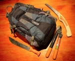
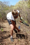
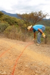
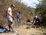
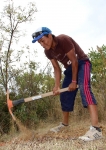
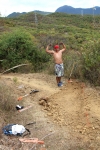
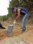
The San Felipe trail network needs occasional maintenance. Once or twice a year the brush along the trails needs to be trimmed back – especially the shrubs and trees sporting thorns and needles! Steps also must be taken to minimize erosion. Drainage channels can be created in strategic spots to keep rainwater from washing out the trail. In places the trail needs to be rebuilt, either to moderate the gradient or to change the side slope so that water coming down the mountainside in a rain storm can flow across the trail rather than being captured by it and then creating nasty gullies that eat away at the trail itself. Finally, there are places where culverts need to be placed under the trail and/or rock barriers put in place to keep flowing water from eating away the very mountainside. All the work is done by volunteer labor following the suggestions found in “Trail Solutions: IMBA’s Guide to Building Sweet Singletrack.”
