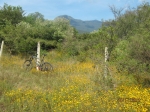
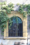
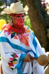
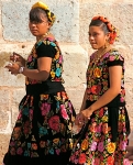
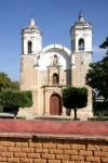
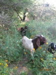
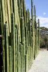
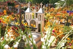
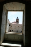
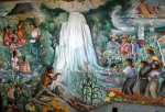
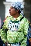
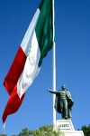
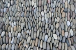
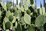
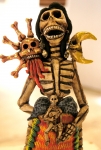
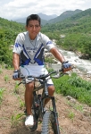
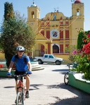
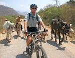
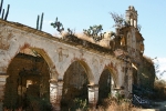
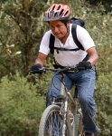
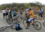
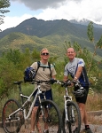
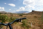
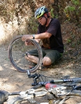
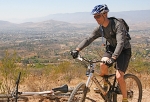
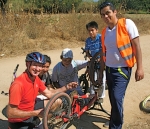
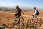
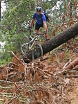
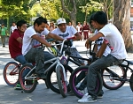
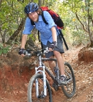
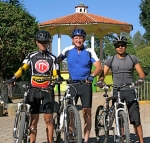
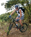
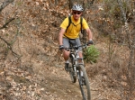
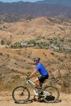
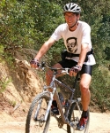
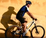
More photos of Oaxaca from the master, Larry G.
Author: Deron
Foothills, GPS, MTBing, Outing, Photos, Trail Info
Outing – 2012-10-22 Ride (CM in Trouble)
by Deron • • 0 Comments
Today’s ride was quick run of Trails TTT, RR, Es, ED, A and CM (~14km). The wild flowers are blooming all over, big areas of what appear to be wild marigolds/chrysanthemums? casting the trailside in yellows, oranges and golds. Other flowers of purple, red and white mixed in for good measure.
Here are some (lousy) photos.
Also, Trail CM is getting some “work” done on it. I.e. a bulldozer was working the eastern side of the singletrack section turning it into a “road.” Also, at one of the creekcrossings somebody has excavated a trench across the road, clearing out the rainy season’s sediment and plopping the excavated dirt across the road on the western side of the trench. It looks like a bridge may be coming, but for now, it’s a hike-a-bike section. Both of these trail issues are noted with placemarks/waypoints on the map below.
Foothills, GPS, MTBing, Outing, Photos
Outing – 2012-10-15 Ride (aka Self Medicating)
by Deron • • 2 Comments
So Larry and I (Deron) had the pleasure of introducing a new gringo to Oaxaca to the pleasure of mountain biking here. Steve (and his lovely family) hail from the USA (state of Montana) and like many from that state, enjoy spending time in the great outdoors…wherever they may be.
Larry and I thought the “Doctor’s Orders” ride would be a good introduction for a physically-fit, (road) cycling guy like Steve. Since it has been over half a year since I’ve done this nice, rolling cross-country loop, we ended up doing a little different than when we were introduced to it by Dr. Z (due to a bit of confusion of where the hell we were supposed to turn at some junctions). Steve had no problem keeping up with us so the only person I can blame for us not having enough time to include Trail CNP (Calle a Ninguna Parte (Road to Nowhere)) is me. 🙂
Here’s a map of today’s outing (yellow) including the track from the original Doctor’s Orders ride back in 2011-12-21 (magenta).
Note that the elevation plot and distance value above are for BOTH outings. Today’s distance was 26.7km. For hands-on fun with the GPS data, download the KML file (using the link next to the elevation plot above) or the raw GPX data, here.
Photos
LG Photography Collection 1
by Deron • • 0 Comments
GPS, Hiking, Outing
Outing: San Felipe Peak Hike
by Deron • • 0 Comments
Deron and Mer’s route to the top of San Felipe peak
(i.e. the peak north of San Felipe del Agua, Oaxaca)
For more details, see: http://derondilger.blogspot.mx/2012/01/deron-and-merediths-2012-01-06-hiketo.html
