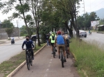
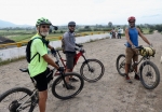
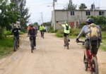
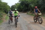
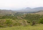
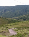
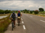
It rained Saturday afternoon and evening in Oaxaca (ninety-five hundredths of an inch) and Sunday dawned overcast and gloomy. The day’s suggested ride was a long one that would take about seven hours to complete, so anxious eyes were cast skyward. There were no rain clouds in sight at 9 am, so the group of four riders decided to proceed as planned. The proposed route was a loop that could be ridden in either direction. After some discussion, the band opted to pedal clockwise, so the itinerary took the riders from Oaxaca to Tule, Rojas de Cuauhtémoc, San Juan Teitipac, Santa Cecilia Jalieza, then over the hill to San Pedro Guegorexe and to the Azucena Zapoteca restaurant near Tilcajete for lunch. After their meal the group would decide whether to return to Oaxaca on Hwy 175 or stick to country roads that would take them through San Martin Tilcajete, Santa Ana Zegache and Zaachila. The highway option would be about 20 kilometers shorter, but would entail a climb up and over a ridge of hills. Following a very pleasant lunch, the fellows opted for the shorter (highway) route home. When the ride was complete, the day’s numbers were tallied. Riders pedaled 44.5 miles (71.6 kms) with an elevation gain and loss of 2320 feet (707 meters) on the circuit. The high point was the top of the ridge separating Santo Domingo Jalieza and San Pedro Guegorexe, which registered 5895 feet (1797 meters) on the GPS unit. From there it was a quick vertical descent of 818 feet (249 meters) on 4.2 miles (6.7 kms) of dirt road into the valley. Tlaloc, the ancient god of rain, looked with favor on the bikers and held off rain showers until all were safely home.

